|
|
 |
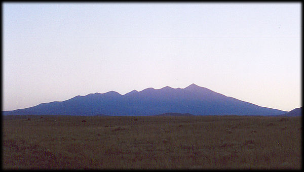
Late afternoon
silhouette of San Francisco Peak, near Flagstaff, Arizona.
At elevation 12633 feet (3850 meters), it's top
point is the highest elevation in Arizona (Humphreys
Peak).
The view is from the northeast.
This entire mountain is what is left of a stratovolcano that
exploded violently in the past. You can read about that, and comment on it
if you like, by accessing the accompanying GeoStory (tm) below.
Next View >>
See the GeoHistory page if you want to know
more about why the landscape looks the way it does, or return
to the map of "Sedona and the Verde Valley" for more view locations.
You can also send this as an E-Postcard
to your friends!
 |
 |
 |
 |
 |
 |
Geology is a s-l-o-w process.
But not always.
Read this GeoStory™:

Blowout
And in Arizona, our highest point is the best example.
There are more GeoStories™
available, too.
[080108]
|
|
 |
 |
 |
 |
 |
 |
|
|
|
|
|
 |
 |
|
 |
|
|
